
Survey & Mapping Drones
Centimeter-accurate aerial data collection for construction, mining, and GIS applications
Centimeter-accurate aerial data collection for construction, mining, and GIS applications
AmurFalcon survey drones deliver survey-grade accuracy with RTK/PPK positioning, multispectral sensors, and seamless CAD/GIS integration for efficient geospatial workflows.
1cm RTK Accuracy
42MP Sensor
3D Modeling
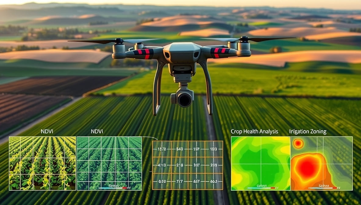
Multispectral
High-accuracy aerial data collection for surveying, construction, and GIS applications
AF-Map Pro creating 3D terrain model
High-accuracy drones for every mapping requirement

Survey-grade mapping with RTK precision
Multispectral analysis for precision agriculture
PPK mapping for entry-level professionals
Transforming geospatial data collection across industries
High-accuracy topographic surveys, progress monitoring, and volumetric calculations.
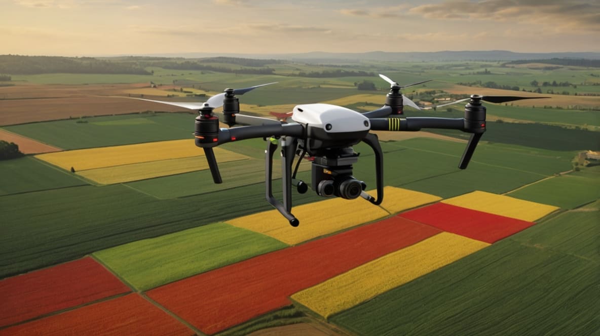
Stockpile volumetrics, pit monitoring, and haul road planning with centimeter accuracy.
Crop health analysis, irrigation planning, and yield estimation with multispectral data.
High-resolution 3D city models for development planning and infrastructure projects.
Canopy analysis, biomass estimation, and deforestation monitoring with LiDAR options.
Rapid damage assessment, flood mapping, and terrain changes after natural events.
Survey-grade performance for professional geospatial workflows
| Specification | AF-Map Pro | AF-Agri Scan | AF-Survey Lite |
|---|---|---|---|
|
Positioning Accuracy
|
1cm RTK | 3cm PPK | 3cm PPK |
|
Camera
|
42MP full-frame | 5-band multispectral | 20MP mechanical |
|
Flight Time
|
75 min | 90 min | 60 min |
|
Max Coverage
|
500 ha/flight | 300 ha/flight | 200 ha/flight |
|
Data Outputs
|
Orthomosaic, DTM, DSM | NDVI, NDRE maps | Orthomosaic, DTM |
|
Software Included
|
Pix4D, DroneDeploy | Agisoft, QGIS | WebODM |
Our geospatial experts will help you select the perfect survey solution